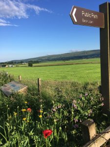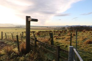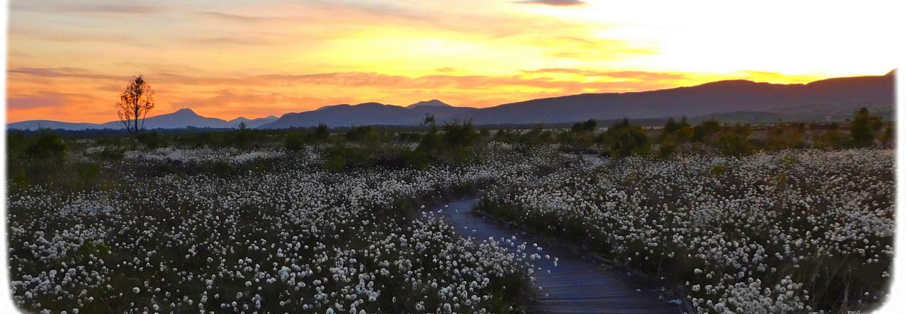
Walking
There is a network of paths suitable for walking in and around Thornhill. Look out for signposted paths around the North and South Commons, and to the south of the village along the Hedges Path and towards Norrieston.
You can download an outline map of the above routes at Thornhill Footpaths Map.
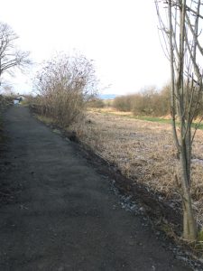
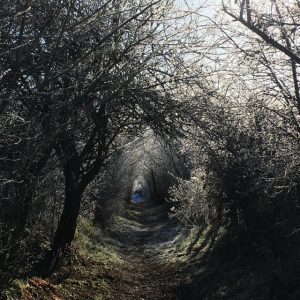
Muir Dam Path
A signposted walk to the Muir Dam north of Thornhill follows the Cessintully Burn up through Nelly’s Glen and over the Boquhapple Ridge. The walk is approximately 3km long (6km there and back). The path is rough, good footwear is essential, but the views are stunning.
Download a fuller Muir Dam walk description to take with you and follow as you go. Enjoy!
Please Note: a number of the stiles on this path are in need of repair. Work to repair them is currently underway by volunteers from the Thornhill Paths Group. Please keep dogs under good control if there is any livestock in the fields.
Cycling
A video of some inspirational cycling day trips for all across The Forth Valley and Lomond areas featuring Dougie Vipond. This area boasts a wide range of fantastic cycling routes amongst spectacular scenery. Loch Lomond and The Trossachs, Aberfoyle, Callander, Strathyre, Balquhidder, Killin, Doune, Deanston and Dunblane. So many options for superb day trips.
Find out more www.visitscotland.com/cyclingroutes
Your Stirling Website has routes in the Loch Lomond and Trossachs area to suit different types of cycling.
Paths in Thornhill